Maps & Plans
Plan of the City Docks, 1950
Picture 2 of 4
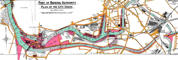
This shows the extent of the City Docks (the parts of the Harbour used by commercial shipping) in 1950.
Download large version
Plan of the City Docks, 1950
This shows the extent of the City Docks (the parts of the Harbour used by commercial shipping) in 1950. Download large version


